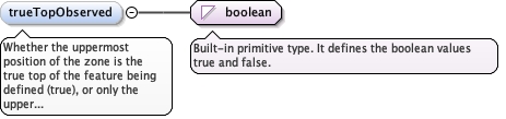
Whether the uppermost position of the zone is the true top of thefeature being defined (true), or only the upper extent of the zoneas set by the extent of the sampling feature itself (false).
Diagram
Type
boolean
Properties
content
simple
minOccurs
0
Source
<element minOccurs="0" name="trueTopObserved" type="boolean"><annotation><documentation>Whether the uppermost position of the zone is the true top of the feature being defined (true), or only the upper extent of the zone as set by the extent of the sampling feature itself (false).</documentation></annotation></element>
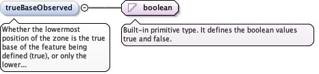
Whether the lowermost position of the zone is the true base of thefeature being defined (true), or only the lower extent of the zoneas set by the extent of the sampling feature itself (false).
Diagram
Type
boolean
Properties
content
simple
minOccurs
0
Source
<element minOccurs="0" name="trueBaseObserved" type="boolean"><annotation><documentation>Whether the lowermost position of the zone is the true base of the feature being defined (true), or only the lower extent of the zone as set by the extent of the sampling feature itself (false).</documentation></annotation></element>
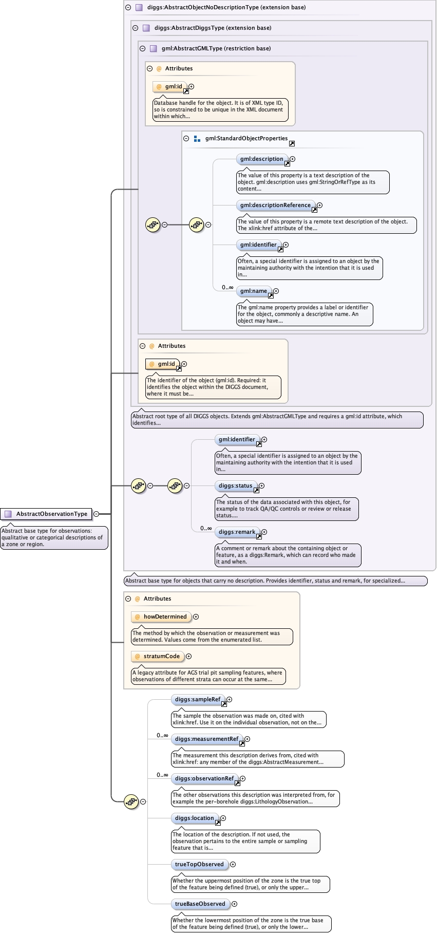
Complex Type diggs:AbstractObservationType
Namespace
http://diggsml.org/schemas/3
Annotations
Abstract base type for observations: qualitative or categorical descriptions of azone or region.
Database handle for the object. It is of XML type ID, so is constrained to beunique in the XML document within which it occurs. An external identifier for the object inthe form of a URI may be constructed using standard XML and XPointer methods. This is doneby concatenating the URI for the document, a fragment separator, and the value of the idattribute.
A legacy attribute for AGS trial pit sampling features, whereobservations of different strata can occur at the same depth in a pit: areference letter or number whose sole purpose is to link the stratum onthe face sketch of the trial pit to the observation.
Source
<complexType abstract="true" name="AbstractObservationType"><annotation><documentation>Abstract base type for observations: qualitative or categorical descriptions of a zone or region.</documentation></annotation><complexContent><extension base="diggs:AbstractObjectNoDescriptionType"><sequence><element minOccurs="0" ref="diggs:sampleRef"><annotation><appinfo>diggs:Sample</appinfo><documentation>The sample the observation was made on, cited with xlink:href. Use it on the individual observation, not on the enclosing observation system. The test is what was described, not the kind of observation: give it when the subject of the description is the recovered material itself, and omit it when the description is an interpretation of the ground made along a sampling feature, even if a sample was recovered over the same interval. A core described stratigraphically is an observation of that sample and takes a sampleRef; a stratigraphy interpreted continuously down a borehole does not; the same holds for lithology. The same observation type can be used either way, so the author states it. Compare sampleRef on diggs:AbstractMeasurementType, which has the same meaning, although there the procedure settles it.</documentation></annotation></element><element maxOccurs="unbounded" minOccurs="0" ref="diggs:measurementRef"><annotation><appinfo>diggs:AbstractMeasurement</appinfo><documentation>The measurement this description derives from, cited with xlink:href: any member of the diggs:AbstractMeasurement substitution group, such as diggs:Test, diggs:Monitor, diggs:MaterialTest, diggs:GeophysicalFieldSurvey or diggs:MeasurementWhileDrilling.</documentation></annotation></element><element maxOccurs="unbounded" minOccurs="0" ref="diggs:observationRef"><annotation><appinfo>diggs:AbstractObservation</appinfo><documentation>The other observations this description was interpreted from, for example the per-borehole diggs:LithologyObservation that a site-wide diggs:GeoUnitObservation synthesizes, or the lithology a diggs:StratigraphyObservation rests on. The observation-level counterpart to measurementRef, for a description whose basis is another description rather than a measured value. Together they state the provenance of an observation; both are carried on the observation, not the system, because a system spans many observations and cannot say which one a given source bore on.</documentation></annotation></element><element minOccurs="0" ref="diggs:location"><annotation><documentation>The location of the description. If not used, the observation pertains to the entire sample or sampling feature that is the target of this observation.</documentation></annotation></element><element minOccurs="0" name="trueTopObserved" type="boolean"><annotation><documentation>Whether the uppermost position of the zone is the true top of the feature being defined (true), or only the upper extent of the zone as set by the extent of the sampling feature itself (false).</documentation></annotation></element><element minOccurs="0" name="trueBaseObserved" type="boolean"><annotation><documentation>Whether the lowermost position of the zone is the true base of the feature being defined (true), or only the lower extent of the zone as set by the extent of the sampling feature itself (false).</documentation></annotation></element></sequence><attribute name="howDetermined" type="diggs:DescriptorMethodEnumType"><annotation><documentation>The method by which the observation or measurement was determined. Values come from the enumerated list.</documentation></annotation></attribute><attribute name="stratumCode" type="string"><annotation><documentation>A legacy attribute for AGS trial pit sampling features, where observations of different strata can occur at the same depth in a pit: a reference letter or number whose sole purpose is to link the stratum on the face sketch of the trial pit to the observation.</documentation></annotation></attribute></extension></complexContent></complexType>
<attribute name="howDetermined" type="diggs:DescriptorMethodEnumType"><annotation><documentation>The method by which the observation or measurement was determined. Values come from the enumerated list.</documentation></annotation></attribute>
A legacy attribute for AGS trial pit sampling features, whereobservations of different strata can occur at the same depth in a pit: areference letter or number whose sole purpose is to link the stratum onthe face sketch of the trial pit to the observation.
<attribute name="stratumCode" type="string"><annotation><documentation>A legacy attribute for AGS trial pit sampling features, where observations of different strata can occur at the same depth in a pit: a reference letter or number whose sole purpose is to link the stratum on the face sketch of the trial pit to the observation.</documentation></annotation></attribute>