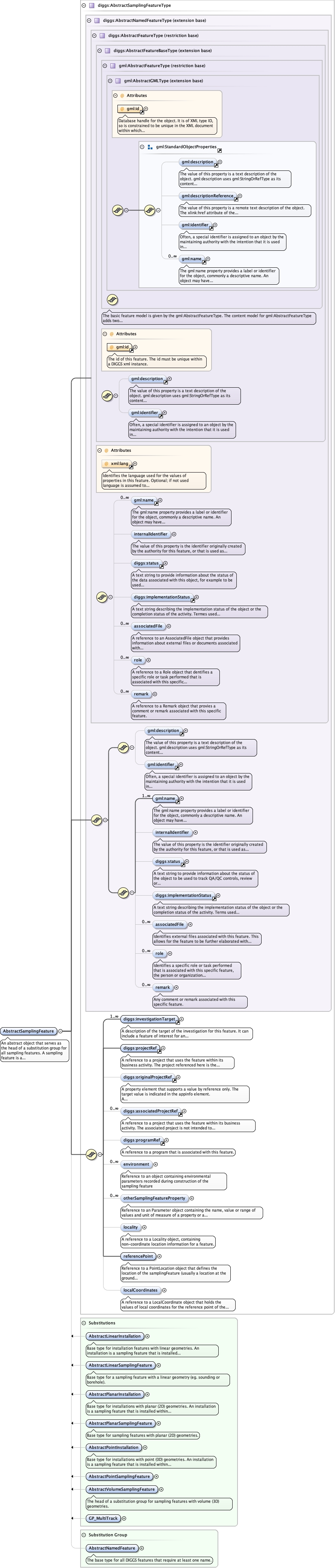
An abstract object that serves as the head of a substitution group forall sampling features. A sampling feature is a physical object or location throughwhich we observe or measure properties of an investigation target, or perform sometype of activity. It serves to define the dimensionality, extent, and local spatialreference system for zones where observations or activities take place.
Database handle for the object. It is of XML type ID, so is constrained to beunique in the XML document within which it occurs. An external identifier for the object inthe form of a URI may be constructed using standard XML and XPointer methods. This is doneby concatenating the URI for the document, a fragment separator, and the value of the idattribute.
<div><h3>lang (as an attribute name)</h3><p>denotes an attribute whose value is a language code for the natural language of the content of any element; its value is inherited. This name is reserved by virtue of its definition in the XML specification.</p></div><div><h4>Notes</h4><p>Attempting to install the relevant ISO 2- and 3-letter codes as the enumerated possible values is probably never going to be a realistic possibility.</p><p>See BCP 47 at<a href="http://www.rfc-editor.org/rfc/bcp/bcp47.txt">http://www.rfc-editor.org/rfc/bcp/bcp47.txt</a>and the IANA language subtag registry at<a href="http://www.iana.org/assignments/language-subtag-registry">http://www.iana.org/assignments/language-subtag-registry</a>for further information.</p><p>The union allows for the 'un-declaration' of xml:lang with the empty string.</p></div>
Source
<element abstract="true" name="AbstractSamplingFeature" substitutionGroup="diggs:AbstractNamedFeature" type="diggs:AbstractSamplingFeatureType"><annotation><documentation>An abstract object that serves as the head of a substitution group for all sampling features. A sampling feature is a physical object or location through which we observe or measure properties of an investigation target, or perform some type of activity. It serves to define the dimensionality, extent, and local spatial reference system for zones where observations or activities take place.</documentation></annotation></element>