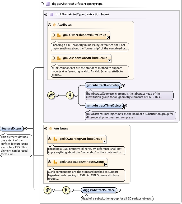
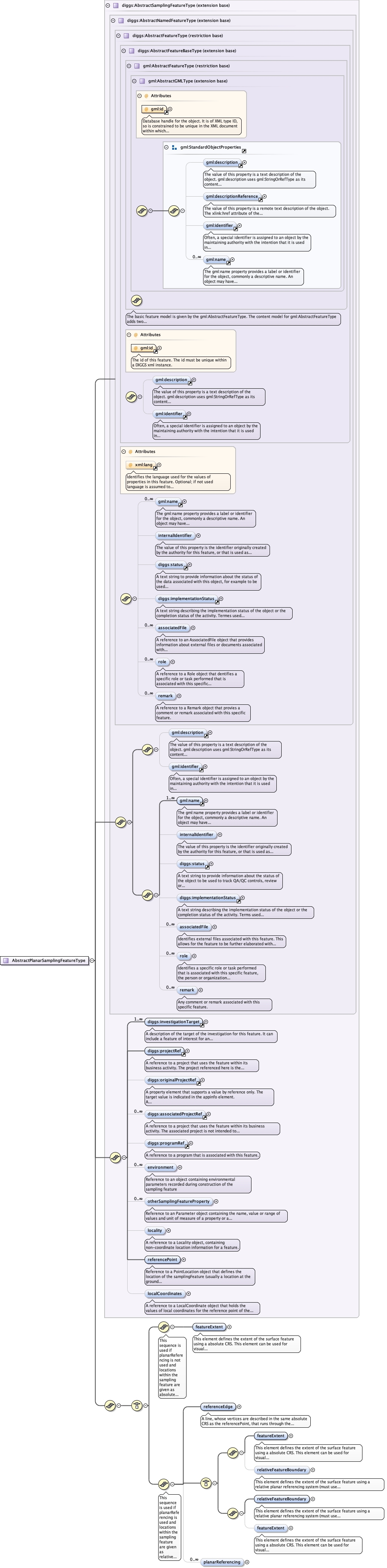
This element defines the extent of the surfacefeature using a absolute CRS. This element can be used forvisual representations using typical/simple mappingsoftware. Either this element, or relativeFeatureExtent isrequired, and can be optionally added ifrelativeFeatureExtent is used.
The 'actuate' attribute is used to communicate the desired timing of traversal from the starting resource to the ending resource; it's value should be treated as follows:onLoad - traverse to the ending resource immediately on loading the starting resource onRequest - traverse from the starting resource to the ending resource only on a post-loading event triggered for this purpose other - behavior is unconstrained; examine other markup in link for hints none - behavior is unconstrained
The 'show' attribute is used to communicate the desired presentation of the ending resource on traversal from the starting resource; it's value should be treated as follows: new - load ending resource in a new window, frame, pane, or other presentation contextreplace - load the resource in the same window, frame, pane, or other presentation contextembed - load ending resource in place of the presentation of the starting resourceother - behavior is unconstrained; examine other markup in the link for hints none - behavior is unconstrained
<element name="featureExtent" type="diggs:AbstractSurfacePropertyType" maxOccurs="1" minOccurs="1"><annotation><documentation>This element defines the extent of the surface feature using a absolute CRS. This element can be used for visual representations using typical/simple mapping software. Either this element, or relativeFeatureExtent is required, and can be optionally added if relativeFeatureExtent is used.</documentation></annotation></element>
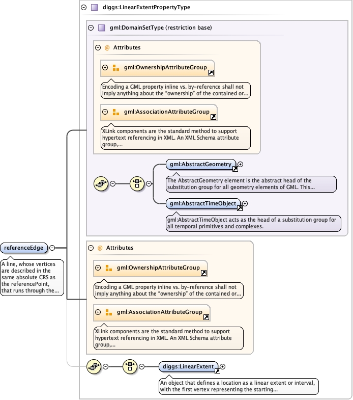
A line, whose vertices are described in the sameabsolute CRS as the referencePoint, that runs through thereferencePoint along one edge of the sampling feature’ssurface. This element is used and required whereplanarReferencing is used, and defines the x-axis of a 2Drelative coordinate reference system.
The 'actuate' attribute is used to communicate the desired timing of traversal from the starting resource to the ending resource; it's value should be treated as follows:onLoad - traverse to the ending resource immediately on loading the starting resource onRequest - traverse from the starting resource to the ending resource only on a post-loading event triggered for this purpose other - behavior is unconstrained; examine other markup in link for hints none - behavior is unconstrained
The 'show' attribute is used to communicate the desired presentation of the ending resource on traversal from the starting resource; it's value should be treated as follows: new - load ending resource in a new window, frame, pane, or other presentation contextreplace - load the resource in the same window, frame, pane, or other presentation contextembed - load ending resource in place of the presentation of the starting resourceother - behavior is unconstrained; examine other markup in the link for hints none - behavior is unconstrained
<element name="referenceEdge" type="diggs:LinearExtentPropertyType" minOccurs="1" maxOccurs="1"><annotation><documentation>A line, whose vertices are described in the same absolute CRS as the referencePoint, that runs through the referencePoint along one edge of the sampling feature’s surface. This element is used and required where planarReferencing is used, and defines the x-axis of a 2D relative coordinate reference system.</documentation></annotation></element>
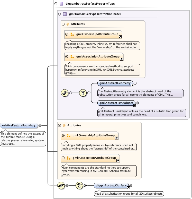
This element defines the extent of thesurface feature using a relative planar referencingsystem (must use planarReferencing propertycontents). This element should be used for softwarethat can handle planar referencing (e.g.LinearSpatialReferenceSystem in GML 3.3). Eitherthis element, or featureExtent is required, and canbe optionally added if featureExtent isused.
The 'actuate' attribute is used to communicate the desired timing of traversal from the starting resource to the ending resource; it's value should be treated as follows:onLoad - traverse to the ending resource immediately on loading the starting resource onRequest - traverse from the starting resource to the ending resource only on a post-loading event triggered for this purpose other - behavior is unconstrained; examine other markup in link for hints none - behavior is unconstrained
The 'show' attribute is used to communicate the desired presentation of the ending resource on traversal from the starting resource; it's value should be treated as follows: new - load ending resource in a new window, frame, pane, or other presentation contextreplace - load the resource in the same window, frame, pane, or other presentation contextembed - load ending resource in place of the presentation of the starting resourceother - behavior is unconstrained; examine other markup in the link for hints none - behavior is unconstrained
<element name="relativeFeatureBoundary" type="diggs:AbstractSurfacePropertyType" maxOccurs="1" minOccurs="0"><annotation><documentation>This element defines the extent of the surface feature using a relative planar referencing system (must use planarReferencing property contents). This element should be used for software that can handle planar referencing (e.g. LinearSpatialReferenceSystem in GML 3.3). Either this element, or featureExtent is required, and can be optionally added if featureExtent is used.</documentation></annotation></element>
Database handle for the object. It is of XML type ID, so is constrained to beunique in the XML document within which it occurs. An external identifier for the object inthe form of a URI may be constructed using standard XML and XPointer methods. This is doneby concatenating the URI for the document, a fragment separator, and the value of the idattribute.
<div><h3>lang (as an attribute name)</h3><p>denotes an attribute whose value is a language code for the natural language of the content of any element; its value is inherited. This name is reserved by virtue of its definition in the XML specification.</p></div><div><h4>Notes</h4><p>Attempting to install the relevant ISO 2- and 3-letter codes as the enumerated possible values is probably never going to be a realistic possibility.</p><p>See BCP 47 at<a href="http://www.rfc-editor.org/rfc/bcp/bcp47.txt">http://www.rfc-editor.org/rfc/bcp/bcp47.txt</a>and the IANA language subtag registry at<a href="http://www.iana.org/assignments/language-subtag-registry">http://www.iana.org/assignments/language-subtag-registry</a>for further information.</p><p>The union allows for the 'un-declaration' of xml:lang with the empty string.</p></div>
Source
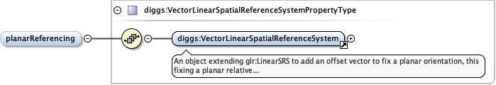
<complexType name="AbstractPlanarSamplingFeatureType" abstract="true"><complexContent><extension base="diggs:AbstractSamplingFeatureType"><sequence><choice><sequence><annotation><documentation>This sequence is used if planarReferencing is not used and locations within the sampling feature are given as absolute coordinates.</documentation></annotation><element name="featureExtent" type="diggs:AbstractSurfacePropertyType" maxOccurs="1" minOccurs="1"><annotation><documentation>This element defines the extent of the surface feature using a absolute CRS. This element can be used for visual representations using typical/simple mapping software. Either this element, or relativeFeatureExtent is required, and can be optionally added if relativeFeatureExtent is used.</documentation></annotation></element></sequence><sequence><annotation><documentation>This sequence is used if planarReferencing is used and locations within the sampling feature are given as relative coordinates.</documentation></annotation><element name="referenceEdge" type="diggs:LinearExtentPropertyType" minOccurs="1" maxOccurs="1"><annotation><documentation>A line, whose vertices are described in the same absolute CRS as the referencePoint, that runs through the referencePoint along one edge of the sampling feature’s surface. This element is used and required where planarReferencing is used, and defines the x-axis of a 2D relative coordinate reference system.</documentation></annotation></element><choice><sequence><element name="featureExtent" type="diggs:AbstractSurfacePropertyType" maxOccurs="1" minOccurs="1"><annotation><documentation>This element defines the extent of the surface feature using a absolute CRS. This element can be used for visual representations using typical/simple mapping software. Either this element, or relativeFeatureExtent is required, and can be optionally added if relativeFeatureExtent is used.</documentation></annotation></element><element name="relativeFeatureBoundary" type="diggs:AbstractSurfacePropertyType" maxOccurs="1" minOccurs="0"><annotation><documentation>This element defines the extent of the surface feature using a relative planar referencing system (must use planarReferencing property contents). This element should be used for software that can handle planar referencing (e.g. LinearSpatialReferenceSystem in GML 3.3). Either this element, or featureExtent is required, and can be optionally added if featureExtent is used.</documentation></annotation></element></sequence><sequence><element name="relativeFeatureBoundary" type="diggs:AbstractSurfacePropertyType" maxOccurs="1" minOccurs="1"><annotation><documentation>This element defines the extent of the surface feature using a relative planar referencing system (must use planarReferencing property contents). This element should be used for software that can handle planar referencing (e.g. LinearSpatialReferenceSystem in GML 3.3). Either this element, or featureExtent is required, and can be optionally added if featureExtent is used.</documentation></annotation></element><element name="featureExtent" type="diggs:AbstractSurfacePropertyType" maxOccurs="1" minOccurs="0"><annotation><documentation>This element defines the extent of the surface feature using a absolute CRS. This element can be used for visual representations using typical/simple mapping software. Either this element, or relativeFeatureExtent is required, and can be optionally added if relativeFeatureExtent is used.</documentation></annotation></element></sequence></choice><element name="planarReferencing" minOccurs="0" maxOccurs="unbounded" type="diggs:VectorLinearSpatialReferenceSystemPropertyType"/></sequence></choice></sequence></extension></complexContent></complexType>