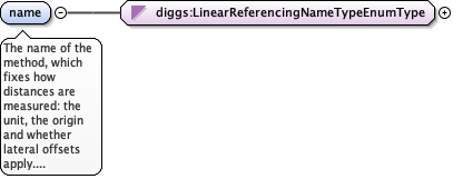
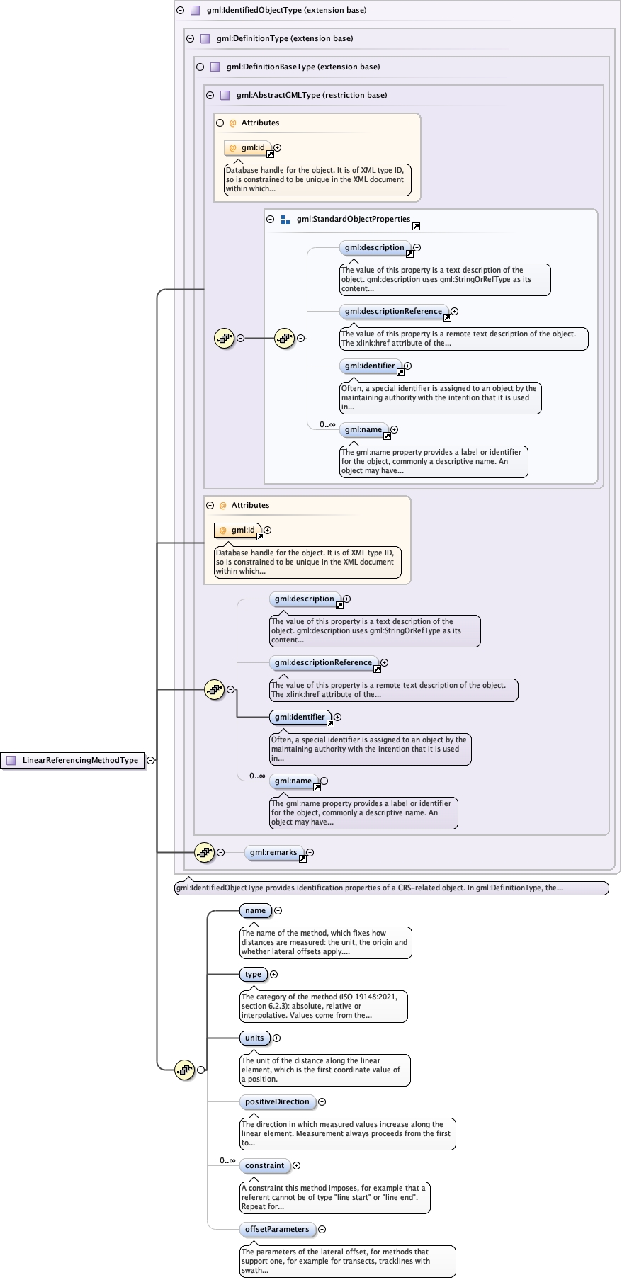
The name of the method, which fixes how distances are measured: theunit, the origin and whether lateral offsets apply. Values come fromthe enumerated list, or "Other: xx", where xx is a user-defined termwhose meaning differs from every listed value (not a synonym ofone).
<element name="name" type="diggs:LinearReferencingNameTypeEnumType"><annotation><documentation>The name of the method, which fixes how distances are measured: the unit, the origin and whether lateral offsets apply. Values come from the enumerated list, or "Other: xx", where xx is a user-defined term whose meaning differs from every listed value (not a synonym of one).</documentation></annotation></element>
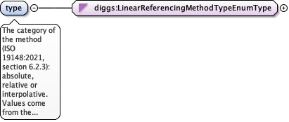
The category of the method (ISO 19148:2021, section 6.2.3):absolute, relative or interpolative. Values come from the enumeratedlist, or "Other: xx", where xx is a user-defined term whose meaningdiffers from every listed value (not a synonym of one).
<element name="type" type="diggs:LinearReferencingMethodTypeEnumType"><annotation><documentation>The category of the method (ISO 19148:2021, section 6.2.3): absolute, relative or interpolative. Values come from the enumerated list, or "Other: xx", where xx is a user-defined term whose meaning differs from every listed value (not a synonym of one).</documentation></annotation></element>
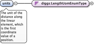
<element name="units" type="diggs:LengthUomEnumType"><annotation><documentation>The unit of the distance along the linear element, which is the first coordinate value of a position.</documentation></annotation></element>
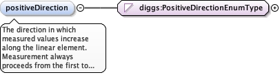
The direction in which measured values increase along the linearelement. Measurement always proceeds from the first to the lastcoordinate; the values other than increasing are labels that saywhat that direction means, for example downward for a borehole.Values come from the enumerated list.
Positive follows the coordinate order, from the first to the lastcoordinate. This is the standard convention.
enumeration
downward
Label for positive being downward (deeper), common for boreholes where thefirst coordinate is the collar and the last is the bottom of the hole.
enumeration
upward
Label for positive being upward (shallower), for example for core loggedfrom bottom to top, or for elevation-based referencing.
enumeration
forward
Label for horizontal features: positive is the forward direction of thesurvey or alignment, common for transects, pipelines and tracklines.
Source
<element name="positiveDirection" type="diggs:PositiveDirectionEnumType" minOccurs="0" default="increasing"><annotation><documentation>The direction in which measured values increase along the linear element. Measurement always proceeds from the first to the last coordinate; the values other than increasing are labels that say what that direction means, for example downward for a borehole. Values come from the enumerated list.</documentation></annotation></element>
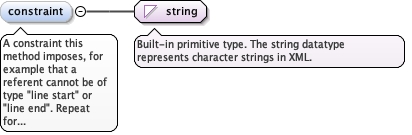
A constraint this method imposes, for example that a referent cannotbe of type "line start" or "line end". Repeat for each constraint.
Diagram
Type
string
Properties
content
simple
minOccurs
0
maxOccurs
unbounded
Source
<element maxOccurs="unbounded" minOccurs="0" name="constraint" type="string"><annotation><documentation>A constraint this method imposes, for example that a referent cannot be of type "line start" or "line end". Repeat for each constraint.</documentation></annotation></element>
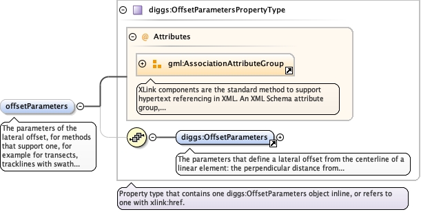
The parameters of the lateral offset, for methods that support one,for example for transects, tracklines with swath data, pipelineswith offset monitoring points, or trial pits with offset samplinglocations. When present, the method is two-dimensional: a linearspatial reference system using it has srsDimension 2 and a positionis encoded in gml:pos as the distance along, in units, then theoffset, in offsetParameters/offsetUnits. When absent, the method isone-dimensional: srsDimension is 1 and a position is the distancealone.
<element name="offsetParameters" type="diggs:OffsetParametersPropertyType" minOccurs="0"><annotation><documentation>The parameters of the lateral offset, for methods that support one, for example for transects, tracklines with swath data, pipelines with offset monitoring points, or trial pits with offset sampling locations. When present, the method is two-dimensional: a linear spatial reference system using it has srsDimension 2 and a position is encoded in gml:pos as the distance along, in units, then the offset, in offsetParameters/offsetUnits. When absent, the method is one-dimensional: srsDimension is 1 and a position is the distance alone.</documentation></annotation></element>
Database handle for the object. It is of XML type ID, so is constrained to beunique in the XML document within which it occurs. An external identifier for the object inthe form of a URI may be constructed using standard XML and XPointer methods. This is doneby concatenating the URI for the document, a fragment separator, and the value of the idattribute.
Source
<complexType name="LinearReferencingMethodType"><complexContent><extension base="gml:IdentifiedObjectType"><sequence><element name="name" type="diggs:LinearReferencingNameTypeEnumType"><annotation><documentation>The name of the method, which fixes how distances are measured: the unit, the origin and whether lateral offsets apply. Values come from the enumerated list, or "Other: xx", where xx is a user-defined term whose meaning differs from every listed value (not a synonym of one).</documentation></annotation></element><element name="type" type="diggs:LinearReferencingMethodTypeEnumType"><annotation><documentation>The category of the method (ISO 19148:2021, section 6.2.3): absolute, relative or interpolative. Values come from the enumerated list, or "Other: xx", where xx is a user-defined term whose meaning differs from every listed value (not a synonym of one).</documentation></annotation></element><element name="units" type="diggs:LengthUomEnumType"><annotation><documentation>The unit of the distance along the linear element, which is the first coordinate value of a position.</documentation></annotation></element><element name="positiveDirection" type="diggs:PositiveDirectionEnumType" minOccurs="0" default="increasing"><annotation><documentation>The direction in which measured values increase along the linear element. Measurement always proceeds from the first to the last coordinate; the values other than increasing are labels that say what that direction means, for example downward for a borehole. Values come from the enumerated list.</documentation></annotation></element><element maxOccurs="unbounded" minOccurs="0" name="constraint" type="string"><annotation><documentation>A constraint this method imposes, for example that a referent cannot be of type "line start" or "line end". Repeat for each constraint.</documentation></annotation></element><element name="offsetParameters" type="diggs:OffsetParametersPropertyType" minOccurs="0"><annotation><documentation>The parameters of the lateral offset, for methods that support one, for example for transects, tracklines with swath data, pipelines with offset monitoring points, or trial pits with offset sampling locations. When present, the method is two-dimensional: a linear spatial reference system using it has srsDimension 2 and a position is encoded in gml:pos as the distance along, in units, then the offset, in offsetParameters/offsetUnits. When absent, the method is one-dimensional: srsDimension is 1 and a position is the distance alone.</documentation></annotation></element></sequence></extension></complexContent></complexType>