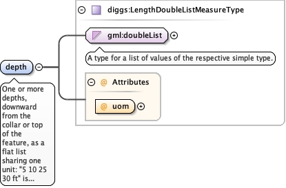
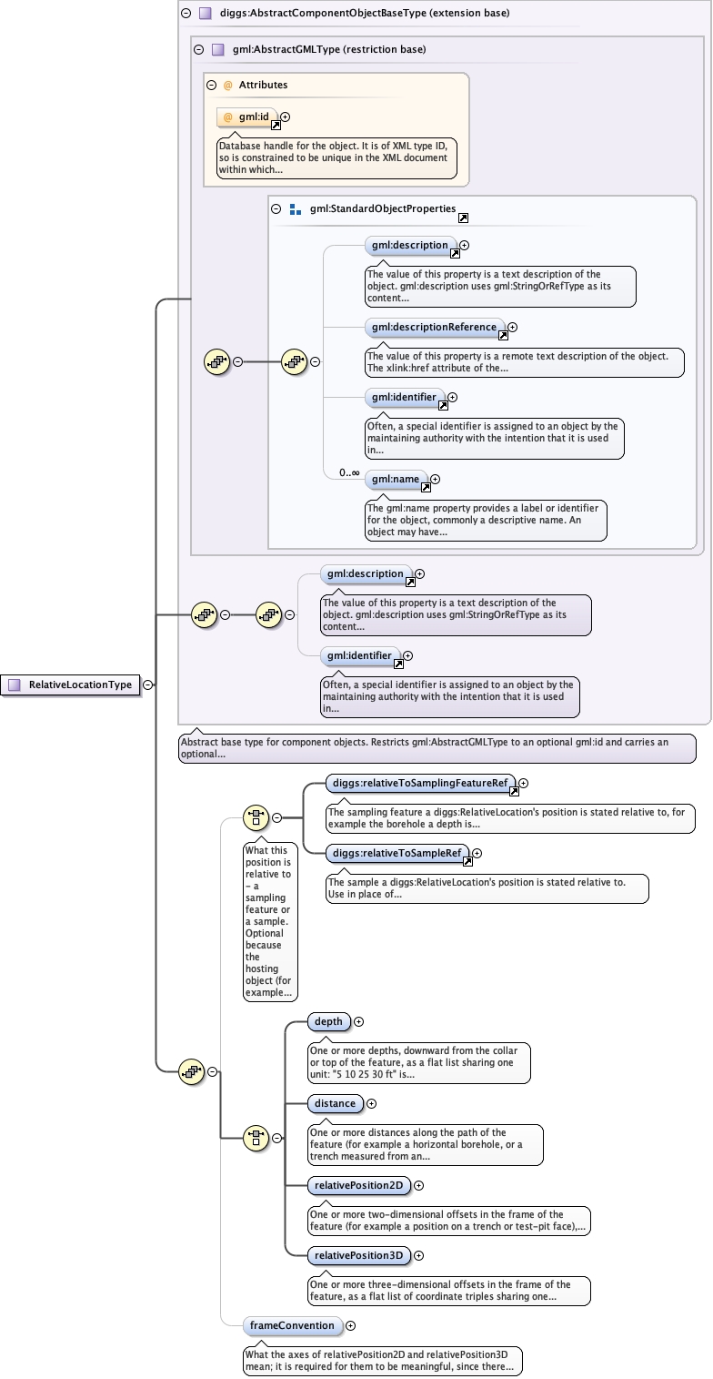
<element name="depth" type="diggs:LengthDoubleListMeasureType"><annotation><documentation>One or more depths, downward from the collar or top of the feature, as a flat list sharing one unit: "5 10 25 30 ft" is one element holding four depths.</documentation></annotation></element>
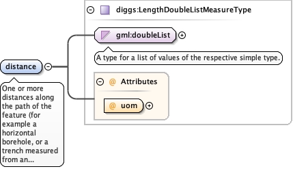
One or more distances along the path of the feature (for examplea horizontal borehole, or a trench measured from an end), as aflat list sharing one unit.
<element name="distance" type="diggs:LengthDoubleListMeasureType"><annotation><documentation>One or more distances along the path of the feature (for example a horizontal borehole, or a trench measured from an end), as a flat list sharing one unit.</documentation></annotation></element>
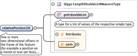
One or more two-dimensional offsets in the frame of the feature(for example a position on a trench or test-pit face), as a flatlist of coordinate pairs sharing one unit: "1 2 3 4" is twopositions. See frameConvention for what the two ordinates mean.
<element name="relativePosition2D" type="diggs:LengthDoubleListMeasureType"><annotation><documentation>One or more two-dimensional offsets in the frame of the feature (for example a position on a trench or test-pit face), as a flat list of coordinate pairs sharing one unit: "1 2 3 4" is two positions. See frameConvention for what the two ordinates mean.</documentation></annotation></element>
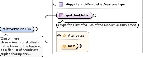
One or more three-dimensional offsets in the frame of thefeature, as a flat list of coordinate triples sharing one unit.See frameConvention for what the three ordinates mean.
<element name="relativePosition3D" type="diggs:LengthDoubleListMeasureType"><annotation><documentation>One or more three-dimensional offsets in the frame of the feature, as a flat list of coordinate triples sharing one unit. See frameConvention for what the three ordinates mean.</documentation></annotation></element>
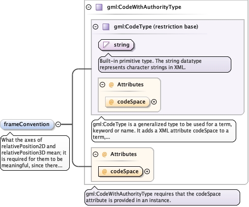
What the axes of relativePosition2D and relativePosition3D mean; itis required for them to be meaningful, since there is no CRS todefine them. Not meaningful for depth and distance, which areself-describing one-dimensional measures with only one axis to name.The codeSpace is required. Use the DIGGS dictionaryframeConvention.xml for the list of values. The dictionary isprovisional: it was built from practice (station, offset andelevation project baselines; trench and test-pit face logging grids)rather than from a single citable naming standard.
<element minOccurs="0" name="frameConvention" type="gml:CodeWithAuthorityType"><annotation><documentation>What the axes of relativePosition2D and relativePosition3D mean; it is required for them to be meaningful, since there is no CRS to define them. Not meaningful for depth and distance, which are self-describing one-dimensional measures with only one axis to name. The codeSpace is required. Use the DIGGS dictionary frameConvention.xml for the list of values. The dictionary is provisional: it was built from practice (station, offset and elevation project baselines; trench and test-pit face logging grids) rather than from a single citable naming standard.</documentation></annotation></element>
Database handle for the object. It is of XML type ID, so is constrained to beunique in the XML document within which it occurs. An external identifier for the object inthe form of a URI may be constructed using standard XML and XPointer methods. This is doneby concatenating the URI for the document, a fragment separator, and the value of the idattribute.
Source
<complexType name="RelativeLocationType"><complexContent><extension base="diggs:AbstractComponentObjectBaseType"><sequence><choice minOccurs="0"><annotation><documentation>What this position is relative to - a sampling feature or a sample. Optional because the hosting object (for example diggs:SampleDesignScopeType/sourceFeatureRef) commonly already names it; state it here only where this diggs:RelativeLocation is used somewhere that does not.</documentation></annotation><element ref="diggs:relativeToSamplingFeatureRef"/><element ref="diggs:relativeToSampleRef"/></choice><choice><element name="depth" type="diggs:LengthDoubleListMeasureType"><annotation><documentation>One or more depths, downward from the collar or top of the feature, as a flat list sharing one unit: "5 10 25 30 ft" is one element holding four depths.</documentation></annotation></element><element name="distance" type="diggs:LengthDoubleListMeasureType"><annotation><documentation>One or more distances along the path of the feature (for example a horizontal borehole, or a trench measured from an end), as a flat list sharing one unit.</documentation></annotation></element><element name="relativePosition2D" type="diggs:LengthDoubleListMeasureType"><annotation><documentation>One or more two-dimensional offsets in the frame of the feature (for example a position on a trench or test-pit face), as a flat list of coordinate pairs sharing one unit: "1 2 3 4" is two positions. See frameConvention for what the two ordinates mean.</documentation></annotation></element><element name="relativePosition3D" type="diggs:LengthDoubleListMeasureType"><annotation><documentation>One or more three-dimensional offsets in the frame of the feature, as a flat list of coordinate triples sharing one unit. See frameConvention for what the three ordinates mean.</documentation></annotation></element></choice><element minOccurs="0" name="frameConvention" type="gml:CodeWithAuthorityType"><annotation><documentation>What the axes of relativePosition2D and relativePosition3D mean; it is required for them to be meaningful, since there is no CRS to define them. Not meaningful for depth and distance, which are self-describing one-dimensional measures with only one axis to name. The codeSpace is required. Use the DIGGS dictionary frameConvention.xml for the list of values. The dictionary is provisional: it was built from practice (station, offset and elevation project baselines; trench and test-pit face logging grids) rather than from a single citable naming standard.</documentation></annotation></element></sequence></extension></complexContent></complexType>