<complexType name="AxisLocationType">
<annotation>
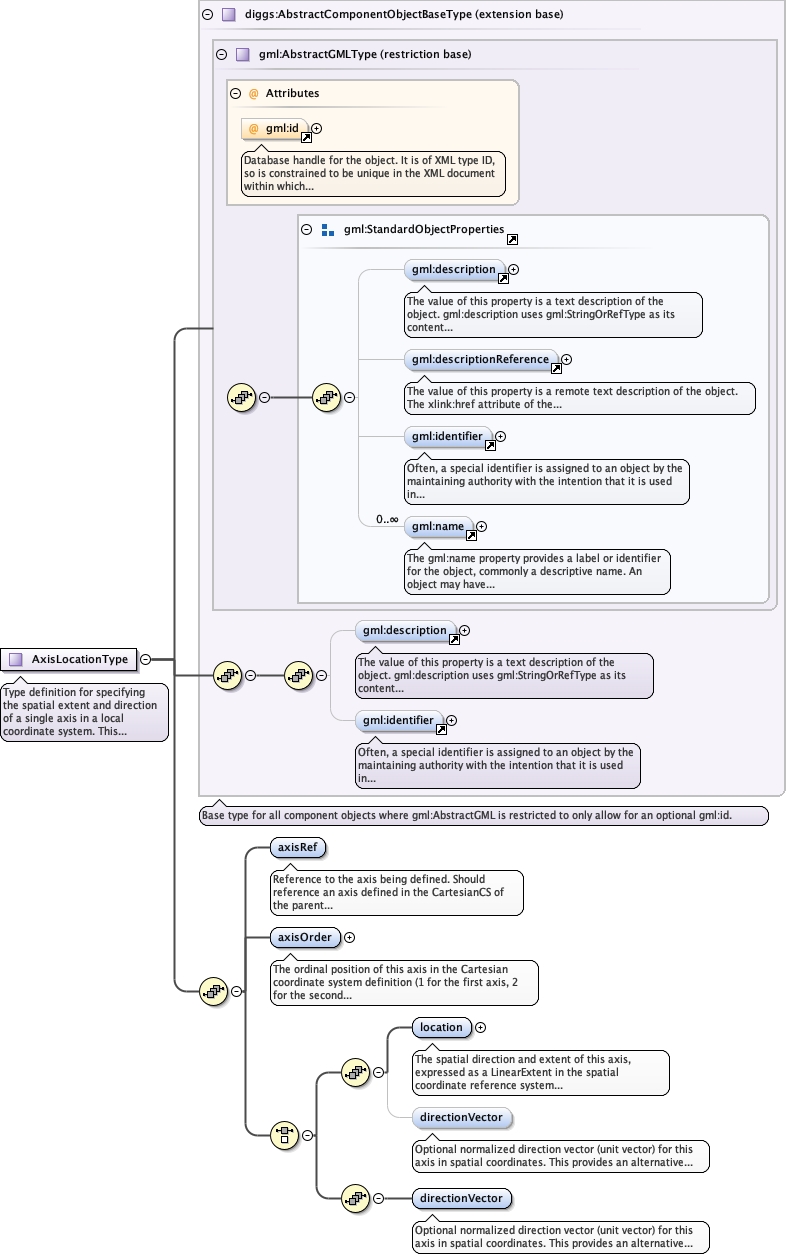
<documentation>Type definition for specifying the spatial extent and direction of a single axis in a local coordinate system. This information enables the axis to be spatially positioned and oriented in a spatial coordinate reference system, supporting coordinate transformation calculations.</documentation>
</annotation>
<complexContent>
<extension base="diggs:AbstractComponentObjectBaseType">
<sequence>
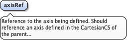
<element name="axisRef" type="gml:ReferenceType">
  <annotation>
    <documentation>Reference to the axis being defined. Should reference an axis defined in the CartesianCS of the parent LocalCartesianCRS. Typically references the gml:id of a gml:CoordinateSystemAxis element (e.g., "X", "Y", "Z", "easting", "northing", "elevation", "station", "offset").</documentation>
  </annotation>
</element>
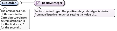
<element name="axisOrder" type="positiveInteger">
  <annotation>
    <documentation>The ordinal position of this axis in the Cartesian coordinate system definition (1 for the first axis, 2 for the second axis, etc.). This ensures correct matching between axes in the CS definition and their spatial extents, particularly important when the axis order is not alphabetical.</documentation>
  </annotation>
</element>
<choice>
<sequence>
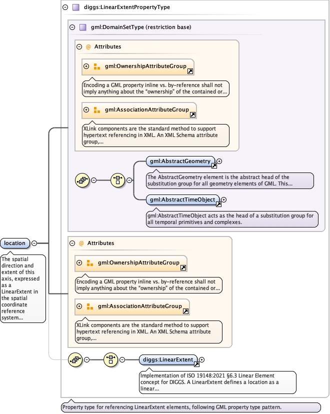
<element name="location" type="diggs:LinearExtentPropertyType" minOccurs="1">
  <annotation>
    <documentation>The spatial direction and extent of this axis, expressed as a LinearExtent in the spatial coordinate reference system of the . The start point of the LinearExtent typically corresponds to the origin location of the parent CRS, and the end point indicates the direction and length of the axis in spatial coordinates. The vector from start to end defines the positive direction of the axis. If omitted, the property directionVector must be used.</documentation>
  </annotation>
</element>
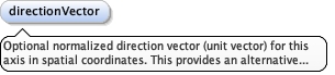
<element name="directionVector" type="gml:VectorType" minOccurs="0">
  <annotation>
    <documentation>Optional normalized direction vector (unit vector) for this axis in spatial coordinates. This provides an alternative or supplementary method to specify axis direction beyond the LinearExtent. When both are provided, they should be consistent with each other. The vector components correspond to the spatial CRS axes (typically X, Y, Z or Easting, Northing, Elevation). If omitted, location must be used.</documentation>
  </annotation>
</element>
</sequence>
<sequence>
<element name="directionVector" type="gml:VectorType" minOccurs="1">
<annotation>
<documentation>Optional normalized direction vector (unit vector) for this axis in spatial coordinates. This provides an alternative or supplementary method to specify axis direction beyond the LinearExtent. When both are provided, they should be consistent with each other. The vector components correspond to the spatial CRS axes (typically X, Y, Z or Easting, Northing, Elevation). If omitted, location must be used.</documentation>
</annotation>
</element>
</sequence>
</choice>
</sequence>
</extension>
</complexContent>
</complexType>
|