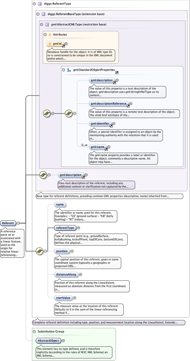
A reference point on or associated with a linear feature, used as the origin for relative linear referencing measurements, or as anchor points for geometric calibration.Referents represent physical or logical datum points along LinearExtent features. Common examples include:- Drilling: ground surface, kelly bushing, rotary table, casing top- Marine: seafloor, mean sea level, mudline- Geophysical: trackline start, trackline end, line intersections- Wells: kickoff point, top of hole, bottom of hole- Core: top of core, bottom of coreWhen a LinearSRS uses a relative LRMethod, the referent defines the zero point (origin) for measurements. When used as anchor points in LinearExtent, referents provide calibration for interpolative methods.
Database handle for the object. It is of XML type ID, so is constrained to beunique in the XML document within which it occurs. An external identifier for the object inthe form of a URI may be constructed using standard XML and XPointer methods. This is doneby concatenating the URI for the document, a fragment separator, and the value of the idattribute.
Source
<element name="Referent" type="diggs:ReferentType" substitutionGroup="gml:AbstractObject"><annotation><documentation>A reference point on or associated with a linear feature, used as the origin for relative linear referencing measurements, or as anchor points for geometric calibration. Referents represent physical or logical datum points along LinearExtent features. Common examples include: - Drilling: ground surface, kelly bushing, rotary table, casing top - Marine: seafloor, mean sea level, mudline - Geophysical: trackline start, trackline end, line intersections - Wells: kickoff point, top of hole, bottom of hole - Core: top of core, bottom of core When a LinearSRS uses a relative LRMethod, the referent defines the zero point (origin) for measurements. When used as anchor points in LinearExtent, referents provide calibration for interpolative methods.</documentation></annotation></element>