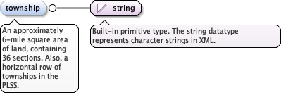
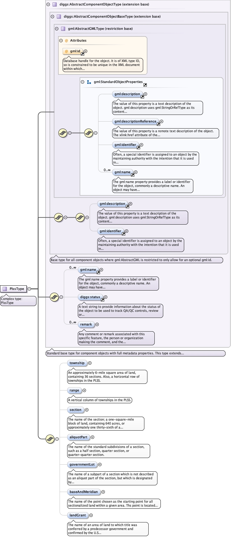
An approximately 6-mile square area of land, containing36 sections. Also, a horizontal row of townships in thePLSS.
Diagram
Type
string
Properties
content
simple
minOccurs
0
maxOccurs
1
Source
<element name="township" type="string" minOccurs="0" maxOccurs="1"><annotation><documentation>An approximately 6-mile square area of land, containing 36 sections. Also, a horizontal row of townships in the PLSS.</documentation></annotation></element>
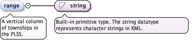
<element name="range" type="string" minOccurs="0" maxOccurs="1"><annotation><documentation>A vertical column of townships in the PLSS.</documentation></annotation></element>
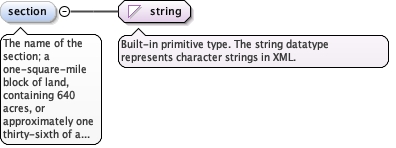
The name of the section; a one-square-mile block of land,containing 640 acres, or approximately one thirty-sixth of atownship. Due to the curvature of the Earth, sections mayoccasionally be slightly smaller than one squaremile.
Diagram
Type
string
Properties
content
simple
minOccurs
0
maxOccurs
1
Source
<element name="section" type="string" minOccurs="0" maxOccurs="1"><annotation><documentation>The name of the section; a one-square-mile block of land, containing 640 acres, or approximately one thirty-sixth of a township. Due to the curvature of the Earth, sections may occasionally be slightly smaller than one square mile.</documentation></annotation></element>
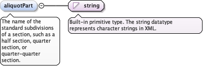
The name of the standard subdivisions of a section, suchas a half section, quarter section, or quarter-quartersection.
Diagram
Type
string
Properties
content
simple
minOccurs
0
Source
<element minOccurs="0" name="aliquotPart" type="string"><annotation><documentation>The name of the standard subdivisions of a section, such as a half section, quarter section, or quarter-quarter section.</documentation></annotation></element>
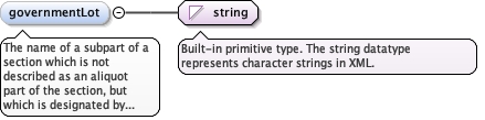
The name of a subpart of a section which is not describedas an aliquot part of the section, but which is designated bynumber, for example, Lot 3. A lot may be regular or irregular inshape, and its acreage may vary from that of regular aliquot parts.These lots frequently border water areas excluded from thePLSS.
Diagram
Type
string
Properties
content
simple
minOccurs
0
Source
<element minOccurs="0" name="governmentLot" type="string"><annotation><documentation>The name of a subpart of a section which is not described as an aliquot part of the section, but which is designated by number, for example, Lot 3. A lot may be regular or irregular in shape, and its acreage may vary from that of regular aliquot parts. These lots frequently border water areas excluded from the PLSS.</documentation></annotation></element>
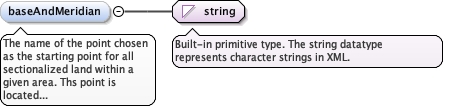
The name of the point chosen as the starting point forall sectionalized land within a given area. Ths point is located atthe intersection of a base line (parallel of latitude, orapproximately a parallel of latitude), and a principalmeridian.
Diagram
Type
string
Properties
content
simple
minOccurs
0
Source
<element minOccurs="0" name="baseAndMeridian" type="string"><annotation><documentation>The name of the point chosen as the starting point for all sectionalized land within a given area. Ths point is located at the intersection of a base line (parallel of latitude, or approximately a parallel of latitude), and a principal meridian.</documentation></annotation></element>
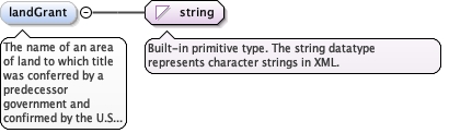
The name of an area of land to which title was conferredby a predecessor government and confirmed by the U.S Governmentafter the territory in which it is situated was acquired by theUnited States. These lands were never part of the original publicdomain and were not subject to subdivision by thePLSS.
Diagram
Type
string
Properties
content
simple
minOccurs
0
Source
<element minOccurs="0" name="landGrant" type="string"><annotation><documentation>The name of an area of land to which title was conferred by a predecessor government and confirmed by the U.S Government after the territory in which it is situated was acquired by the United States. These lands were never part of the original public domain and were not subject to subdivision by the PLSS.</documentation></annotation></element>
Database handle for the object. It is of XML type ID, so is constrained to beunique in the XML document within which it occurs. An external identifier for the object inthe form of a URI may be constructed using standard XML and XPointer methods. This is doneby concatenating the URI for the document, a fragment separator, and the value of the idattribute.
Source
<complexType name="PlssType"><annotation><documentation>Complex type: PlssType</documentation></annotation><complexContent><extension base="diggs:AbstractComponentObjectType"><sequence><element name="township" type="string" minOccurs="0" maxOccurs="1"><annotation><documentation>An approximately 6-mile square area of land, containing 36 sections. Also, a horizontal row of townships in the PLSS.</documentation></annotation></element><element name="range" type="string" minOccurs="0" maxOccurs="1"><annotation><documentation>A vertical column of townships in the PLSS.</documentation></annotation></element><element name="section" type="string" minOccurs="0" maxOccurs="1"><annotation><documentation>The name of the section; a one-square-mile block of land, containing 640 acres, or approximately one thirty-sixth of a township. Due to the curvature of the Earth, sections may occasionally be slightly smaller than one square mile.</documentation></annotation></element><element minOccurs="0" name="aliquotPart" type="string"><annotation><documentation>The name of the standard subdivisions of a section, such as a half section, quarter section, or quarter-quarter section.</documentation></annotation></element><element minOccurs="0" name="governmentLot" type="string"><annotation><documentation>The name of a subpart of a section which is not described as an aliquot part of the section, but which is designated by number, for example, Lot 3. A lot may be regular or irregular in shape, and its acreage may vary from that of regular aliquot parts. These lots frequently border water areas excluded from the PLSS.</documentation></annotation></element><element minOccurs="0" name="baseAndMeridian" type="string"><annotation><documentation>The name of the point chosen as the starting point for all sectionalized land within a given area. Ths point is located at the intersection of a base line (parallel of latitude, or approximately a parallel of latitude), and a principal meridian.</documentation></annotation></element><element minOccurs="0" name="landGrant" type="string"><annotation><documentation>The name of an area of land to which title was conferred by a predecessor government and confirmed by the U.S Government after the territory in which it is situated was acquired by the United States. These lands were never part of the original public domain and were not subject to subdivision by the PLSS.</documentation></annotation></element></sequence></extension></complexContent></complexType>