| Namespace | http://diggsml.org/schema-dev | |||||||||
|
Annotations
|
|
|||||||||
|
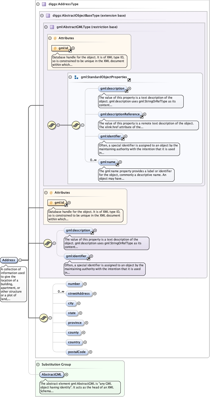
Diagram
|
 |
|||||||||
| Type | diggs:AddressType | |||||||||
| Type hierarchy | ||||||||||
|
Properties
|
|
|||||||||
| Substitution Group Affiliation | ||||||||||
|
Used by
|
|
|||||||||
| Model | ||||||||||
| Children | diggs:city, diggs:country, diggs:county, diggs:number, diggs:postalCode, diggs:province, diggs:state, diggs:streetAddress, gml:description, gml:identifier | |||||||||
|
Instance
|
|
|||||||||
|
Attributes
|
|
|||||||||
|
Source
|
|