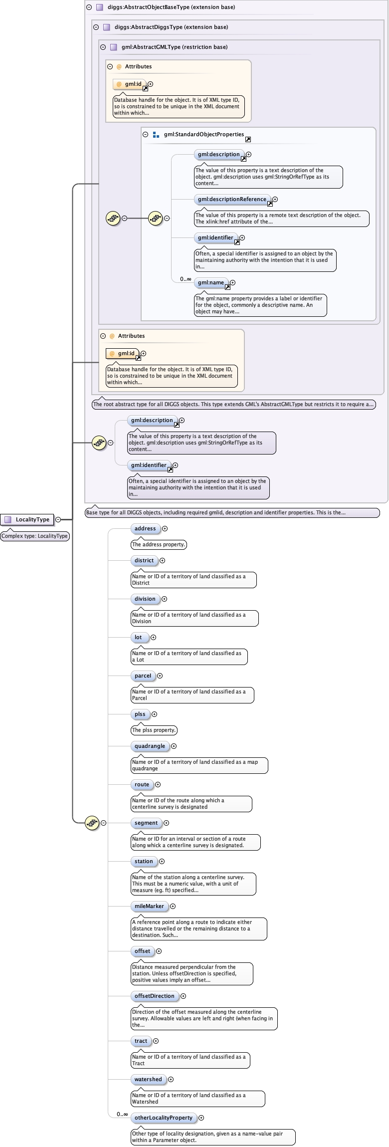
| Namespace | http://diggsml.org/schemas/3 | ||||||
|
Annotations
|
|
||||||
|
Diagram
|
 |
||||||
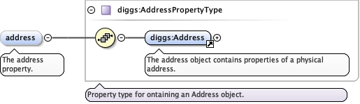
| Type | diggs:AddressPropertyType | ||||||
|
Properties
|
|
||||||
| Model | |||||||
| Children | diggs:Address | ||||||
|
Instance
|
|
||||||
| Schema location | file:/Users/dponti/GitHub/diggs-schema/core/Common.xsd |