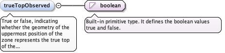
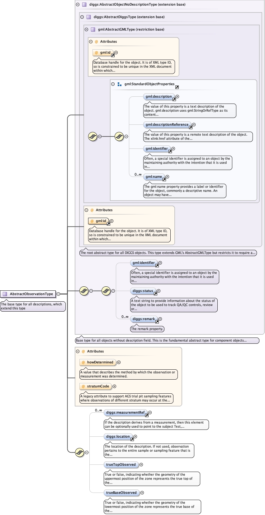
True or false, indicating whether the geometry of theuppermost position of the zone represents the true top of thefeature being defined (true) or (false) whether the top representsthe upper extent of the zone that is described by the extent of thesampling feature itself.
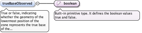
True or false, indicating whether the geometry of thelowermost position of the zone represents the true base of thefeature being defined (true) or (false) whether the base representsthe lower extent of the zone that is defined by the extent of thesampling feature itself.
Database handle for the object. It is of XML type ID, so is constrained to beunique in the XML document within which it occurs. An external identifier for the object inthe form of a URI may be constructed using standard XML and XPointer methods. This is doneby concatenating the URI for the document, a fragment separator, and the value of the idattribute.
A legacy attribute to support AGS trial pit sampling featureswhere observations of different stratum may occur at the same depth in apit. It is a reference letter or number whose sole purpose is to linkthe stratum shown on a face sketch of the trial pit to the specificobservation.
A legacy attribute to support AGS trial pit sampling featureswhere observations of different stratum may occur at the same depth in apit. It is a reference letter or number whose sole purpose is to linkthe stratum shown on a face sketch of the trial pit to the specificobservation.