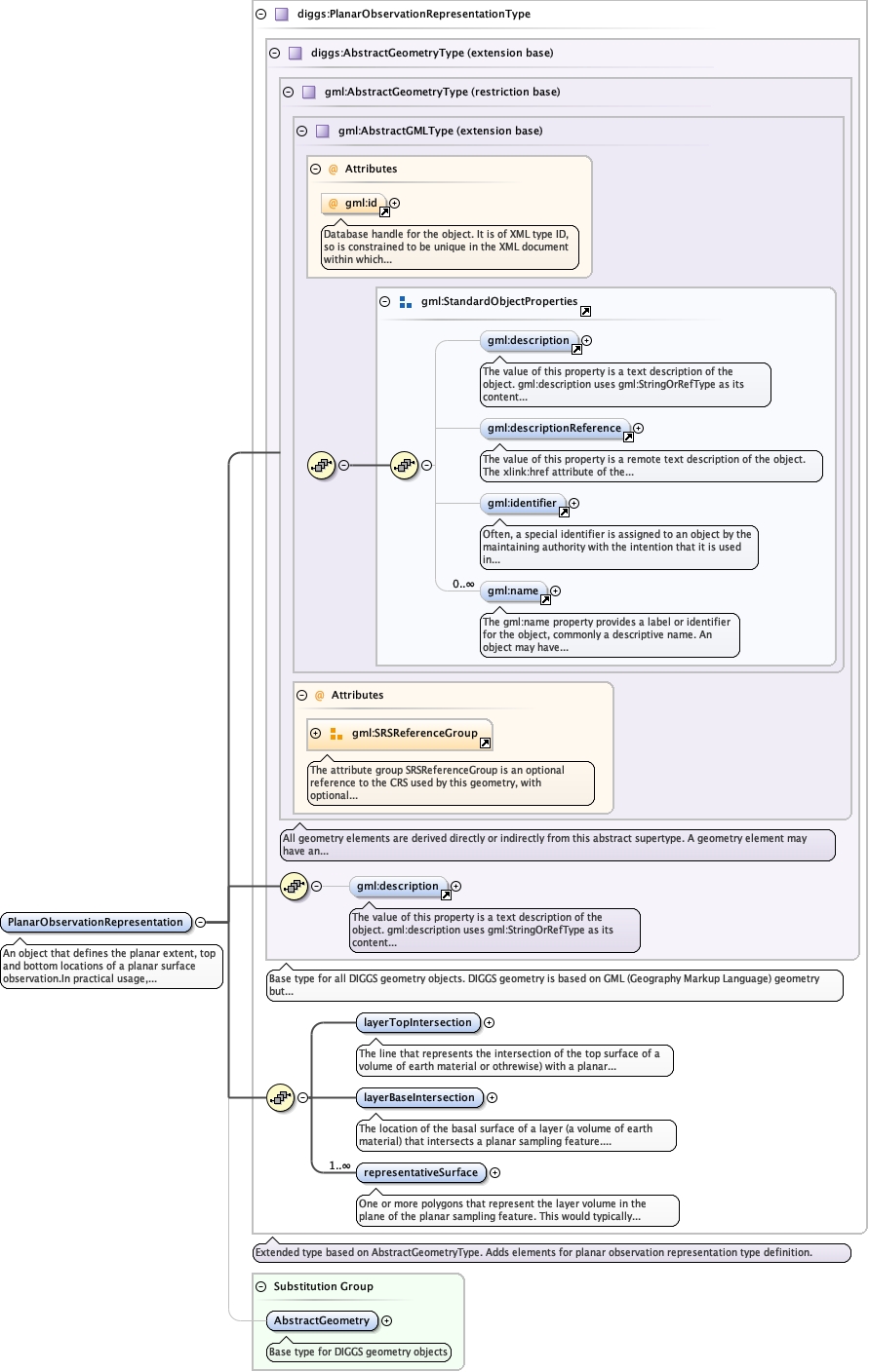
An object that defines the planar extent, top and bottom locations of a planar surface observation.In practical usage, the PlanarSurfaceRepresentation incorporates the geometries of the top and bottom surfaces of a volume of earth material where they contact a planar surface, such as a geologic contact or stratigraphic boundary and the area (as a surface) between the two contacts.
Database handle for the object. It is of XML type ID, so is constrained to beunique in the XML document within which it occurs. An external identifier for the object inthe form of a URI may be constructed using standard XML and XPointer methods. This is doneby concatenating the URI for the document, a fragment separator, and the value of the idattribute.
<element name="PlanarObservationRepresentation" substitutionGroup="diggs:AbstractGeometry" type="diggs:PlanarObservationRepresentationType"><annotation><documentation>An object that defines the planar extent, top and bottom locations of a planar surface observation.In practical usage, the PlanarSurfaceRepresentation incorporates the geometries of the top and bottom surfaces of a volume of earth material where they contact a planar surface, such as a geologic contact or stratigraphic boundary and the area (as a surface) between the two contacts.</documentation></annotation></element>