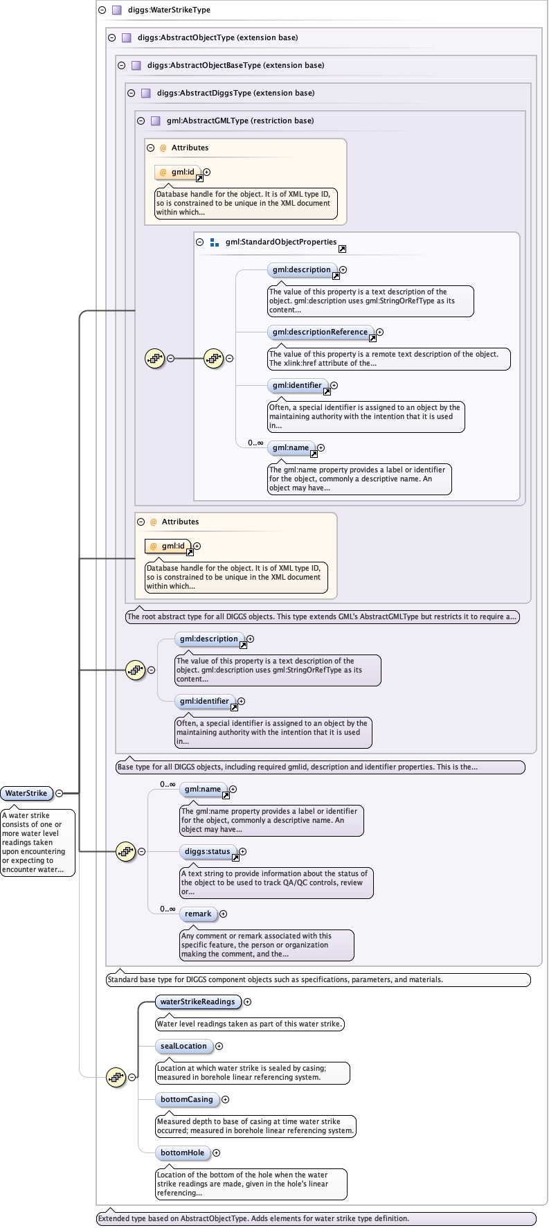
A water strike consists of one or more water level readings taken uponencountering or expecting to encounter water during drilling. Depending on practice,this may consist of individual reasurements taken one or more times as drillingprogresses or a series of measurements taken over a short time interval whendrilling is halted at a particular depth.
Database handle for the object. It is of XML type ID, so is constrained to beunique in the XML document within which it occurs. An external identifier for the object inthe form of a URI may be constructed using standard XML and XPointer methods. This is doneby concatenating the URI for the document, a fragment separator, and the value of the idattribute.
Source
<element name="WaterStrike" type="diggs:WaterStrikeType"><annotation><documentation>A water strike consists of one or more water level readings taken upon encountering or expecting to encounter water during drilling. Depending on practice, this may consist of individual reasurements taken one or more times as drilling progresses or a series of measurements taken over a short time interval when drilling is halted at a particular depth.</documentation></annotation></element>