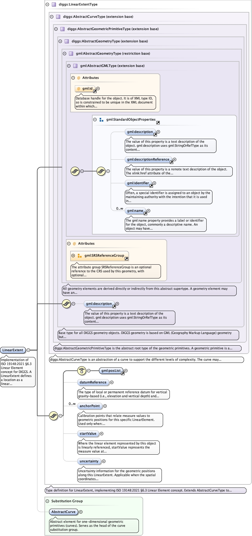
Implementation of ISO 19148:2021 §6.3 Linear Element concept for DIGGS.A LinearExtent defines a location as a linear extent or interval, with the firstvertex representing the starting location and the last vertex representing the endlocation. This is the fundamental spatial object along which linear referencing Vmeasurements are made. For DIGGS applications, LinearExtent typically represents: -Borehole centerline (3D path from collar to bottom) - Well trajectory (includingdeviated wells) - CPT sounding path - Geophysical trackline - Survey transect ortraverse The geometry is stored in gml:posList with coordinates in the order theyare traversed during measurement. Measurements proceed from first to lastcoordinate.
Database handle for the object. It is of XML type ID, so is constrained to beunique in the XML document within which it occurs. An external identifier for the object inthe form of a URI may be constructed using standard XML and XPointer methods. This is doneby concatenating the URI for the document, a fragment separator, and the value of the idattribute.
<element name="LinearExtent" substitutionGroup="diggs:AbstractCurve" type="diggs:LinearExtentType"><annotation><documentation>Implementation of ISO 19148:2021 §6.3 Linear Element concept for DIGGS. A LinearExtent defines a location as a linear extent or interval, with the first vertex representing the starting location and the last vertex representing the end location. This is the fundamental spatial object along which linear referencing V measurements are made. For DIGGS applications, LinearExtent typically represents: - Borehole centerline (3D path from collar to bottom) - Well trajectory (including deviated wells) - CPT sounding path - Geophysical trackline - Survey transect or traverse The geometry is stored in gml:posList with coordinates in the order they are traversed during measurement. Measurements proceed from first to last coordinate.</documentation></annotation></element>