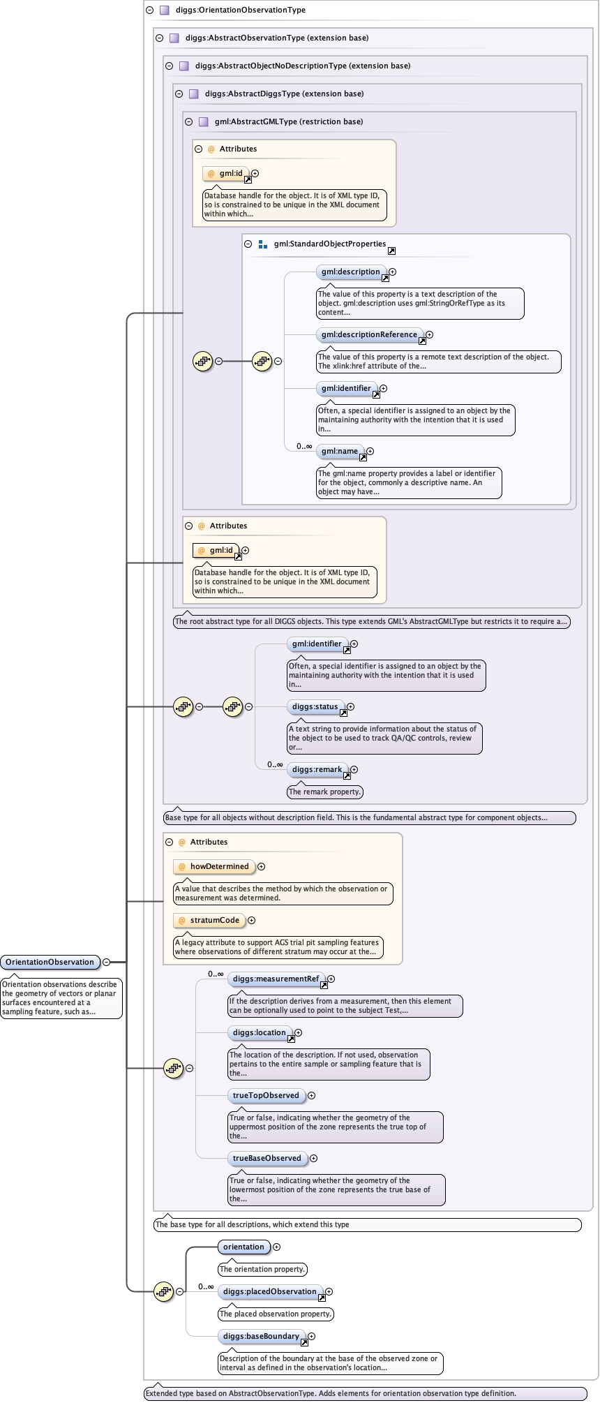
Orientation observations describe the geometry of vectors or planarsurfaces encountered at a sampling feature, such as bedding, joints, cross-beds,etc. These observations are designed to characterize regions with generalizedgeometries. Individual measurements of planar geometries of boundaries or faults arerecorded in Discontinuity or Lithology observations.
Database handle for the object. It is of XML type ID, so is constrained to beunique in the XML document within which it occurs. An external identifier for the object inthe form of a URI may be constructed using standard XML and XPointer methods. This is doneby concatenating the URI for the document, a fragment separator, and the value of the idattribute.
A legacy attribute to support AGS trial pit sampling featureswhere observations of different stratum may occur at the same depth in apit. It is a reference letter or number whose sole purpose is to linkthe stratum shown on a face sketch of the trial pit to the specificobservation.
Source
<element name="OrientationObservation" type="diggs:OrientationObservationType"><annotation><documentation>Orientation observations describe the geometry of vectors or planar surfaces encountered at a sampling feature, such as bedding, joints, cross-beds, etc. These observations are designed to characterize regions with generalized geometries. Individual measurements of planar geometries of boundaries or faults are recorded in Discontinuity or Lithology observations.</documentation></annotation></element>