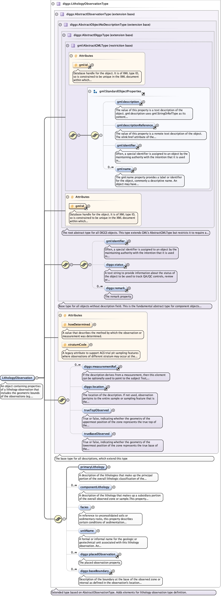
An object containing properties of a lithology observation that includesthe geometric bounds of the observations (eg. an interval of a borehole, polygonrepresentation (on maps or cross-section), or 3D volume, properties of the primaryand any component lithologies, any ancillary observations as descriptions that aremade within the bounds of the lithology observations (placedObservation) and theconditions that mark the basal boundary of the lithology described.
Database handle for the object. It is of XML type ID, so is constrained to beunique in the XML document within which it occurs. An external identifier for the object inthe form of a URI may be constructed using standard XML and XPointer methods. This is doneby concatenating the URI for the document, a fragment separator, and the value of the idattribute.
A legacy attribute to support AGS trial pit sampling featureswhere observations of different stratum may occur at the same depth in apit. It is a reference letter or number whose sole purpose is to linkthe stratum shown on a face sketch of the trial pit to the specificobservation.
Source
<element name="LithologyObservation" type="diggs:LithologyObservationType"><annotation><documentation>An object containing properties of a lithology observation that includes the geometric bounds of the observations (eg. an interval of a borehole, polygon representation (on maps or cross-section), or 3D volume, properties of the primary and any component lithologies, any ancillary observations as descriptions that are made within the bounds of the lithology observations (placedObservation) and the conditions that mark the basal boundary of the lithology described.</documentation></annotation></element>