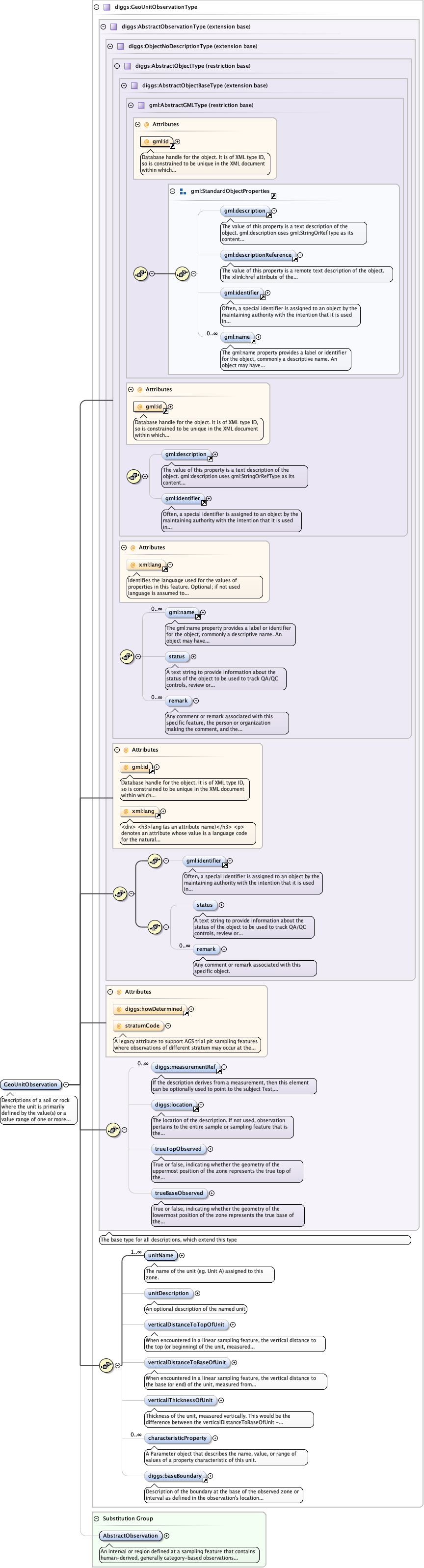
Descriptions of a soil or rock where the unit is primarily defined by the value(s) or a value range of one or more physical or engineering properties. The criteria for distinguishing such units may vary depending on the engineering application.
Database handle for the object. It is of XML type ID, so is constrained to beunique in the XML document within which it occurs. An external identifier for the object inthe form of a URI may be constructed using standard XML and XPointer methods. This is doneby concatenating the URI for the document, a fragment separator, and the value of the idattribute.
A legacy attribute to support AGS trial pit sampling features where observations of different stratum may occur at the same depth in a pit. It is a reference letter or number whose sole purpose is to link the stratum shown on a face sketch of the trial pit to the specific observation.
<div><h3>lang (as an attribute name)</h3><p>denotes an attribute whose value is a language code for the natural language of the content of any element; its value is inherited. This name is reserved by virtue of its definition in the XML specification.</p></div><div><h4>Notes</h4><p>Attempting to install the relevant ISO 2- and 3-letter codes as the enumerated possible values is probably never going to be a realistic possibility.</p><p>See BCP 47 at<a href="http://www.rfc-editor.org/rfc/bcp/bcp47.txt">http://www.rfc-editor.org/rfc/bcp/bcp47.txt</a>and the IANA language subtag registry at<a href="http://www.iana.org/assignments/language-subtag-registry">http://www.iana.org/assignments/language-subtag-registry</a>for further information.</p><p>The union allows for the 'un-declaration' of xml:lang with the empty string.</p></div>
Source
<element name="GeoUnitObservation" type="diggs:GeoUnitObservationType" substitutionGroup="diggs:AbstractObservation"><annotation><documentation>Descriptions of a soil or rock where the unit is primarily defined by the value(s) or a value range of one or more physical or engineering properties. The criteria for distinguishing such units may vary depending on the engineering application.</documentation></annotation></element>